")

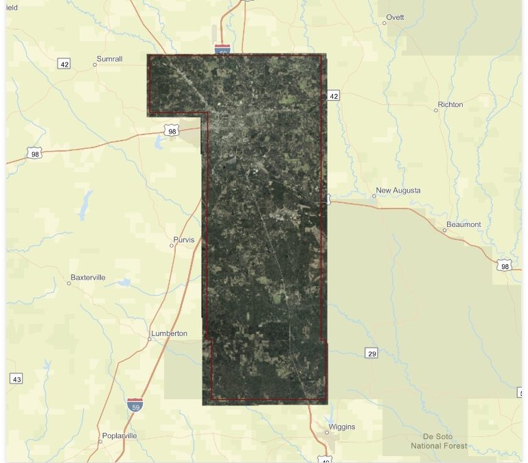
The Department of Revenue (DOR) directs the county to maintain current ownership maps of the county. The DOR also requires the county to fly new arial photography every ten years. Forrest County had new ariel photography flown in the beginning of 2022. The mapping department works the deeds that are recorded in the Chancery Clerk’s Office. The process of updating your new deed information usually takes up to a year to see your property in your name once you purchased the property. The mapper is working the deeds that were filed from the previous year for our current year Land Roll.
Maps