According to the 2000 census, the county has a total area of 470.17 square miles (1,217.7 km2), of which 466.58 square miles (1,208.4 km2) (or 99.24%) is land and 3.59 square miles (9.3 km2) (or 0.76%) is water.[3]Major highways
I-59.svg Interstate 59
US 11.svg U.S. Highway 11
US 49.svg U.S. Highway 49
US 98.svg U.S. Highway 98
Circle sign 13.svg Mississippi Highway 13
Circle sign 42.svg Mississippi Highway 42
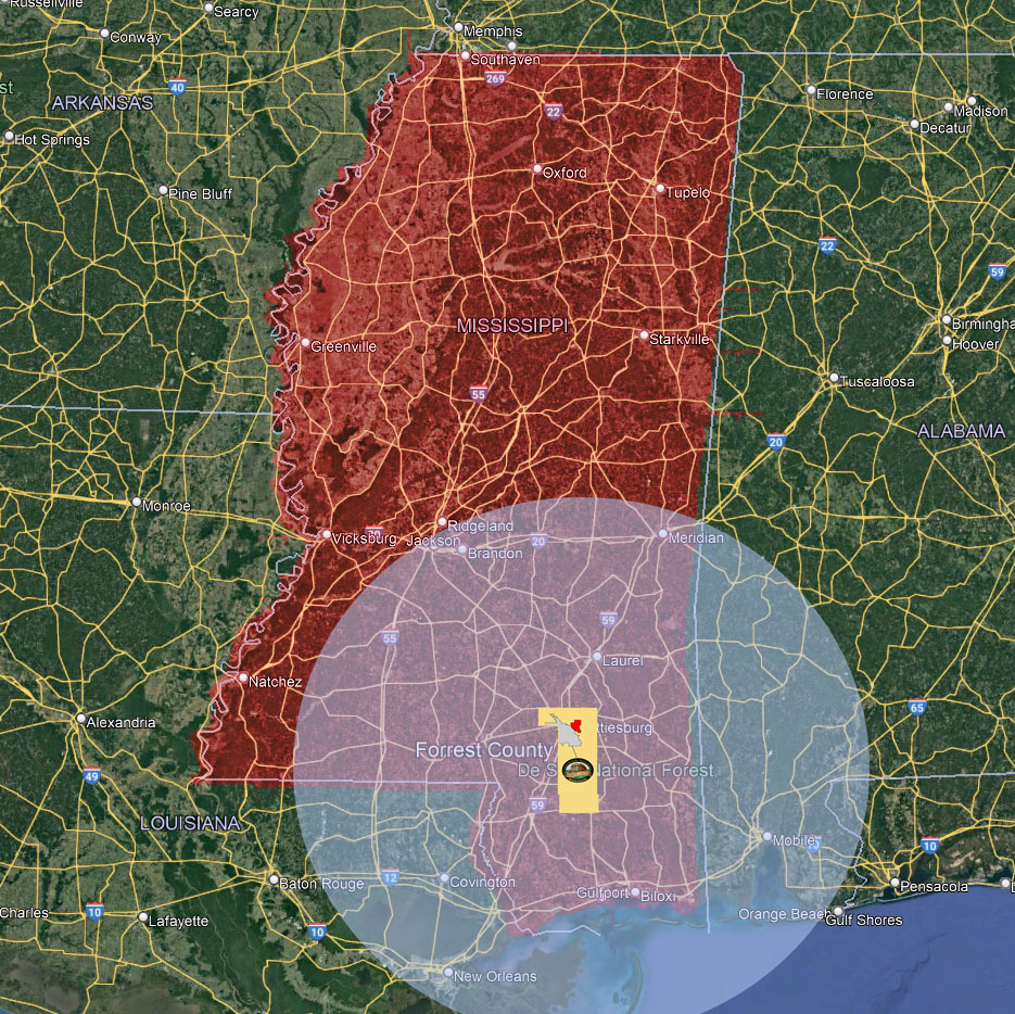
Adjacent counties
Jones County (northeast)
Perry County (east)
Stone County (south)
Pearl River County (southwest)
Lamar County (west)
Covington County (northwest)
National protected area
De Soto National Forest (part)